Image created by AI
Icy Blast Set to Thrash South Africa: Severe Weather Prompts Warnings across Six Provinces
Residents across six provinces in South Africa are bracing for an "intense" cold front, with the South African Weather Service (SAWS) having issued multiple weather warnings as conditions are expected to deteriorate significantly in the coming days. The Western Cape, Eastern Cape, and sections of the Northern Cape are directly in the path of the advancing front, which is predicted to bring with it a slew of meteorological hazards starting from Monday.
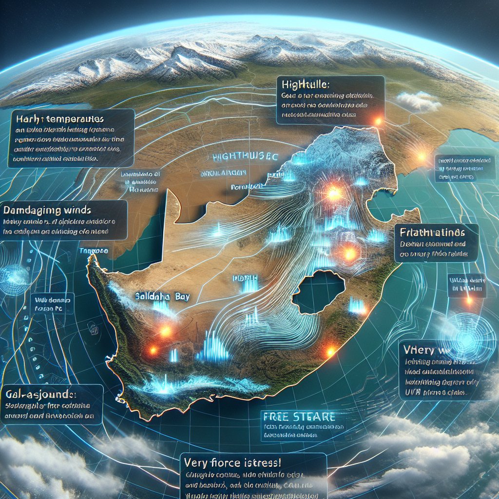
The SAWS's latest reports highlight severe weather phenomena including strong to gale-force winds, tumultuous seas, and even potential light snowfalls across affected interior regions. Region-specific warnings illustrate a grim picture: the Cape Winelands and the Overberg District are on alert for disruptive rainfall, while municipalities along the coast, from Saldanha Bay stretching to Port St. Johns, anticipate damaging winds and towering waves.
Meteorological models forecast that the icy conditions will introduce themselves as early as Sunday and persist well into the start of the week, plunging temperatures and presenting very cold scenarios, especially across the country's southwestern parts. This cold snap is anticipated to extend beyond immediate coastal towns, through the great karoo, and into the high-lying ground of the interior.
Beyond these areas, the weather service has sounded the alarm for potentially destructive winds that could wreak havoc across vast stretches, encompassing not only the Western and Eastern Capes but also touching parts of the Free State, the Southern and Eastern sections of the Northern Cape, the southern areas of the North West Province, and most of KwaZulu-Natal. While bringing attention to the immediate threats posed by the cold, SAWS also notes the risk of extremely high fire danger conditions prevailing elsewhere in the country, barring the west and northeast.
The advisory extends to cover much of the nation, with Gauteng expected to retain fine and warm conditions but with a high UVB sunburn index, while Limpopo and Mpumalanga are forecast to experience mild to hot temperatures. Nonetheless, caution is still advised as parts of Mpumalanga could see a turn toward partly cloudy skies by evening. Similarly, the North West and Free State will see clear mornings give way to windy, overcast afternoons and fluctuating temperatures.
In the Northern Cape, isolated showers are anticipated, and by evening the wind is expected to lighten. As for the dominantly coastal Western Cape, the emergence of a Berg wind effect adds to the mix of anticipated weather disruptions, and coastal municipalities can expect a transition from fresh northerly winds to a strong swesterlies. The UVB sunburn index for this region will linger at moderate levels.
In the Eastern Cape's western half, showers and rain are poised to pick up come the afternoon, while the eastern half will likely dodge the worst until the evening when isolated rain spells become a possibility.
Concerning KwaZulu-Natal, fine and warm conditions will precede a partly cloudy afternoon, with coastal regions specially cautioned as northerlies intensify to gale force south-westerlies, tracking northward as the day progresses.
As this aggressive weather system advances, residents and visitors should remain vigilant and prepare for potential disruptions. It is advised to stay tuned to SAWS's updates and heed local authorities' instructions for all necessary safety measures.


