Content created by AI
South Africa Braces for Disruptive Rain and Storms on New Year’s Eve
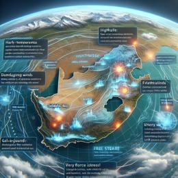
South Africans looking to celebrate the arrival of the New Year may have to adjust their plans as the South African Weather Service (Saws) has issued multiple warnings of disruptive weather conditions expected to impact parts of the country on New Year’s Eve. The country is set to face a mix of adverse weather ranging from heavy rainfall to severe thunderstorms.
According to Saws, the south coast and adjacent interior of the Western Cape received a Yellow Level 4 warning. These areas are projected to experience disruptive rain that could cause flooding of roads and infrastructures, including both formal and informal settlements. The weather authorities urge residents to prepare for possible evacuations and disruptions and advise against unnecessary travel in the affected regions.
In addition to the Western Cape, the central interior of KwaZulu-Natal has been put on alert with a Yellow Level 2 warning for disruptive rain that is forecasted to affect the area. Saws has cautioned that the heavy rain may lead to localized flooding and potential road closures, affecting New Year’s Eve activities and potentially leading to property damage.
Moreover, the central parts of the North West and the north-western Free State are set to experience severe thunderstorms characterized by heavy downpours and strong winds. These thunderstorms, assigned a Yellow Level 1 warning, could result in localized flooding and damage to properties. Residents are advised to be vigilant and to secure any vulnerable outdoor items that could be affected by strong winds.
The Eastern Cape is not exempt from the weather warning, with the central interior and eastern parts forecasted to face severe thunderstorms, posing risks for localised flooding and property damage. Residents should remain informed on the latest weather updates and follow safety protocols as instructed by local authorities.
Gauteng is expected to be partly cloudy and warm with scattered thundershowers, particularly isolated in the north of the province. However, amid the storm warnings, high UVB sunlight conditions present another risk, prompting advisories for rigorous sunscreen use to prevent sunburn.
In other parts of the country, Mpumalanga is predicted to enjoy moderately warm weather peppered with isolated afternoon thundershowers, while conditions over the Lowveld could become notably hot. Meanwhile, the Western Cape is slated for a cloudy and cool to warm day with rain and isolated showers, turning scattered along the south coast. The weather service also highlighted that the western coast north of Saldanha Bay is expected to be cloudy in the early morning before clearing up.
The coastal areas of the Western Cape will experience varying wind conditions, including light and variable winds north of Cape Columbine in the morning, transitioning to moderate to fresh south-easterly winds. Areas along the south-west coast are set to feel stronger winds by the afternoon.
An additional concern is the tropical system developing in the Mozambique Channel. The disturbance, which could evolve into a tropical depression by the afternoon and a moderate tropical storm the following day, is being closely monitored by Saws. As the system continues to develop, it may further influence South Africa's weather patterns, possibly exacerbating the extreme conditions already forecasted.
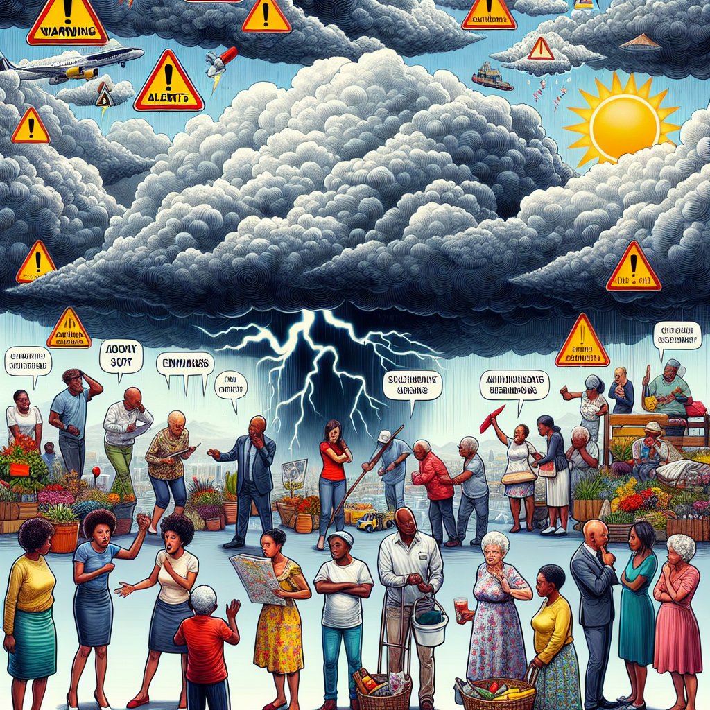
In light of these extensive weather alerts, South Africans are urged to remain cautious and prepared. The safety of all citizens is paramount, and as such, it is encouraged to stay indoors where possible, especially in the mentioned areas under severe weather warnings.
Leave a Comment
Recent News