Picture: for illustration purposes
Intense Spring Cut-off Low Expected to Impact Large Parts of South Africa
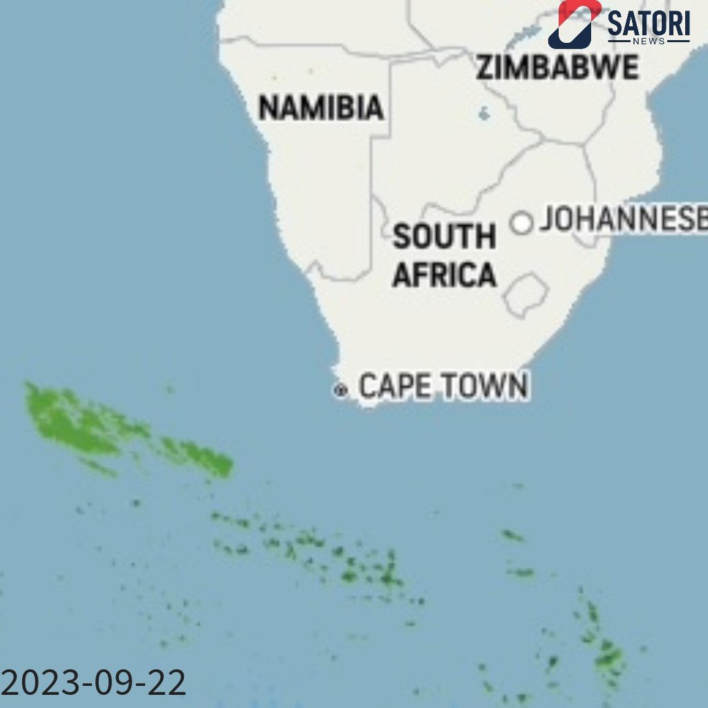
South Africans are on alert as a substantial storm system is expected to develop over the weekend and into early next week. This comes closely on the heels of recent damaging coastal surge. The South African Weather Service (SAWS) stated on Thursday that they predict the emergence of a cut-off low-pressure system off the west coast of South Africa from Saturday evening.
Cut-off lows have a notorious reputation for inciting severe weather conditions including widespread flooding, intense rainfall, and forceful thunderstorms. The SAWS has forecasted that there will be extensive showers and thundershowers across western, central, and southern South Africa, specifically from Sunday. The precise positioning and spread of the cut-off low are currently uncertain, requiring further analysis.
Light rain is predicted to fall across the Garden Route of the Western Cape and the coast and adjacent interior of the Eastern Cape on Saturday. Concurrently, potential isolated to dispersed thundershowers developing from the afternoon over the interior are expected, extending from the eastern parts of the Northern Cape to the western Free State, and later the interior of the Eastern Cape.
As the cut-off low intensifies rapidly on Sunday, it is likely to travel northwards into the country's western interior, instigating widespread rain and thundershowers over the Western Cape, Northern Cape, Eastern Cape, and southern Free State. Particularly in the Western Cape, Northern Cape, and western areas of the Eastern Cape, severe thunderstorms may lead to flash flooding due to high-intensity rainfall.
Coastal regions may also experience strong to gale-force winds and very turbulent seas of 4 to 6 meters high on Sunday and Monday. Snowfall is also a possibility in the northeastern high-altitude areas of the Eastern Cape and Lesotho on Monday, accompanied by cold weather conditions over western, southern, and central regions.
The cut-off low, predicted to move to the southern coast by Monday, developing a so-called Scorpion's Tail, will bring further heavy rainfall over the southern parts of the Western and Eastern Capes. The system is expected to move away from the nation by Tuesday.
Leave a Comment
Recent News