Image created by AI
NASA and USGS Utilize Drones for Advanced River Flow Measurements
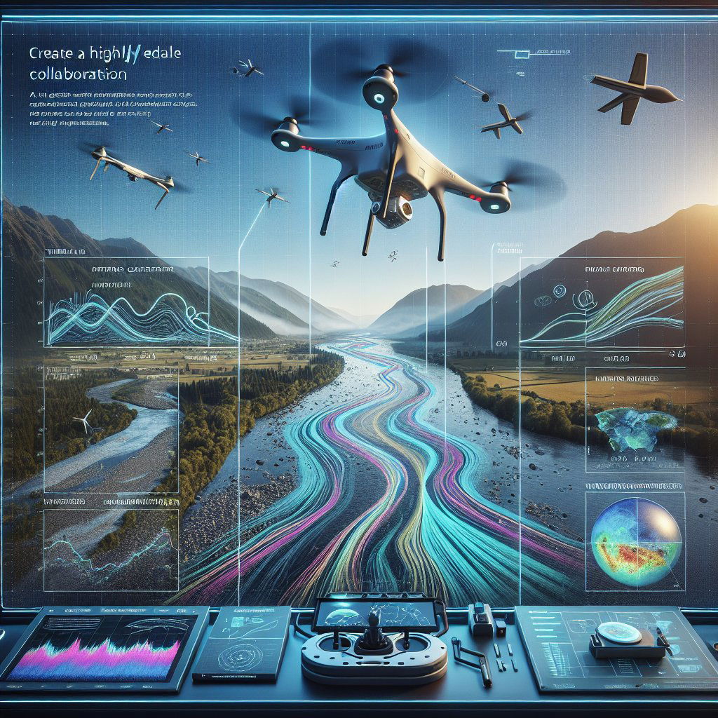
New technological advancements from a collaborative effort between NASA and the U.S. Geological Survey (USGS) are setting the stage for a more detailed understanding of river dynamics through innovative drone use. The two agencies are integrating small drones equipped with specialized payloads to generate intricate maps showing the speed at which water flows through rivers. This is crucial for many aspects of environmental management and safety, as rivers are not only vital for fresh water supply and habitats but can also become hazards when flows change abruptly.
The River Observing System (RiOS), a cutting-edge instrument package about the size of a milk gallon, was designed for this task. RiOS is armed with thermal and visible cameras to track water surface motions, a laser for measuring altitude, navigation sensors, an onboard computer, and a wireless communications system. An important milestone was reached in 2023 with RiOS' field testing along the Sacramento River in Northern California, with a third field test intended for fall 2024.
Carl Legleiter from the USGS highlighted the significance of validating RiOS in a realistic environment, demonstrating near real-time analysis capabilities during flight—a primary goal for streamlined data acquisition and processing. RiOS also signifies strides in the automation of data collection, where flow speeds and patterns can be derived using open-source software and custom coding from a series of captured images.
Interestingly, the need for discreet physical markers in the water, such as debris, is eliminated by RiOS' adeptness at identifying slight temperature differences with its highly sensitive infrared camera. This innovation not only enhances river flow monitoring but also contributes to NASA's broader goals, such as the exploration of celestial bodies with challenging visual conditions. Uland Wong, the NASA lead of the StreamFlow project, noted the potential for this technology to navigate other planets' terrains, like Jupiter's moon Europa.
Preparing for the field tests, NASA conducted thousands of simulated drone flights over the Sacramento River through robotics simulation, optimizing flight routes and battery usage. Looking ahead, the team aims to increase the drone system's autonomy, allowing real-time data to dictate the machine's next move to optimize data quality and response to environmental changes.
Though the USGS currently has a comprehensive network of stream gauges and cameras to monitor river flows, drones like the ones equipped with RiOS have the potential to greatly expand this network. Paul Kinzel from USGS envisions a future where drones enable a larger, more robust network that also improves safety for technicians.
This groundbreaking work is evolving how we interact with our natural waterways. The enhanced capability to monitor river flows accurately and autonomously presents a leap forward in environmental management, conservation, and disaster preparedness, aligning with global efforts towards a sustainable future where nature and technology exist in harmony.


